
We’re taking inspection to new heights.
Above + Below uses the latest technology to satisfy your above-ground needs. Whether you’re inspecting a dam or looking for spectacular visuals of your latest condo project, our highly experienced pilots will provide the precise, high-end results your project deserves.
Want to find out more about what we can do in tight spaces or down under?
Aerial Mapping
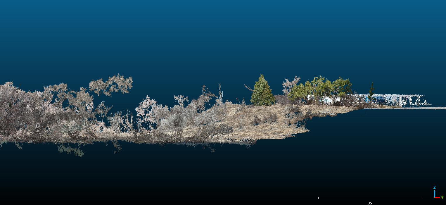
Aerial drone surveying with photogrammetry allows an accurate depiction of site premises. Orthomosaic (2D) and oblique (3D) mapping produce unparalleled results for land developers, project stakeholders, builders, and asset owners that traditional surveying could not achieve at a fraction of the cost. Combined with horizontal and vertical survey datums or local survey control points, drone mapping produces georeferenced, survey-grade measurements of structures, topography, and infrastructure. Allowing seamless integration with GIS and CADD ecosystems.

Traffic Monitoring
Short-term (1-6 hours) traffic data collection using RPAS where installation of traffic pole camera is challenging or costly (especially for freeways or intersections). Drone traffic monitoring provides ease of use in urban and rural environments, capturing traffic movements with fields and angles of view that pole cameras could never achieve.
In addition to HD videos, vehicle count, speed and acceleration, vehicle class and headway counts can be obtained utilizing video analytics tools, to be provided to clients as final deliverables.
Construction
From routine site progress tracking to construction site surveillance, drones provide contractors with a safe and cost-effective solution for site monitoring, deficiency management, and stakeholder relations. Compared to site inspection from the ground, drones can provide an overview of the entire site, covering every corner, while maintaining a consistent track record of construction progress.
Utilizing 3D mapping and modelling, engineers and contractors can scout for potential design conflicts, site access, and constructability issues, in addition to performing stockpile volume analyses and excavation cut and fill with ease of mind.
Interested in learning more about our Above work?
Then just click the button below. We look forward to hearing from you!